Trump Imagines US Annexing All Its Neighbors as He Continues AI Map-Sharing Bender

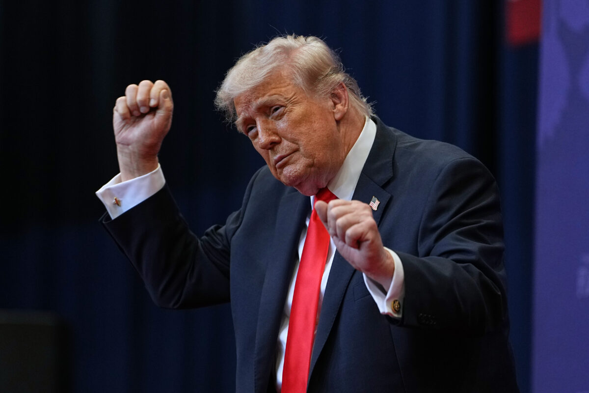
(AP Photo/Matt Rourke)
President Donald Trump continued his map posting spree Monday, sharing more images of the state of New Mexico renamed to “New America” and then sharing a further image appearing to depict the entire North American continent – including Canada and Greenland as well as Mexico and the Caribbean islands – all as United States territory.
The AI-generated map, shared by Trump on Truth Social without explanation, comes just one day after he ignited fury from New Mexico Democrats who fumed that his meme about renaming their state “isn’t up for debate.”
On Monday the president doubled down, much to the enjoyment of some MAGA pundits, sharing another several maps of the state with its name scratched out and replaced with “New America.”
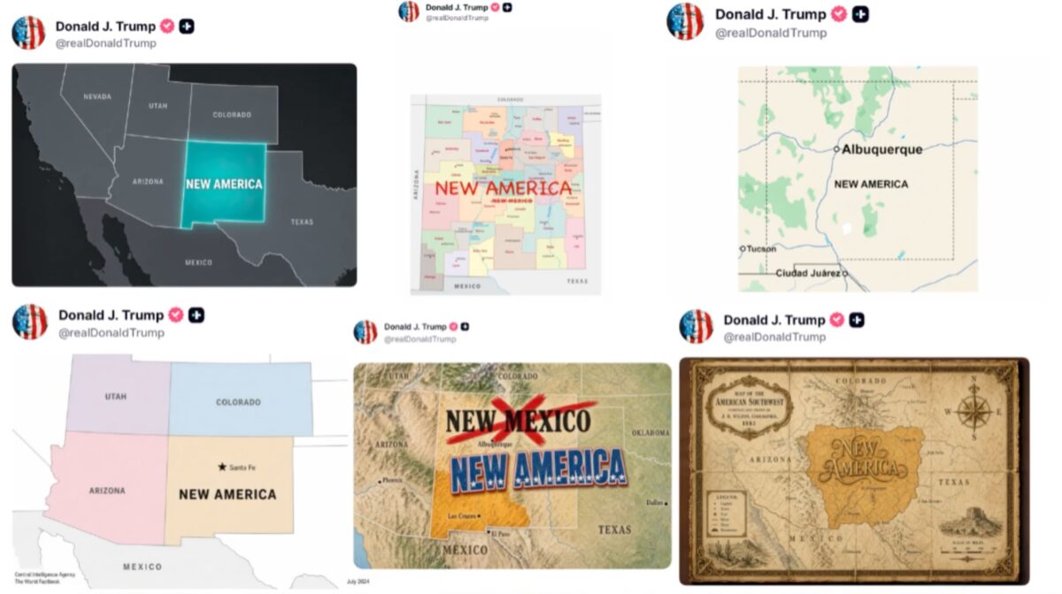
(Screengrab via X)
Trump followed with a depiction of an enlarged United States:
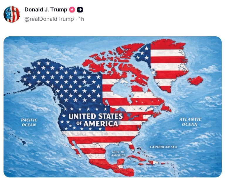
(Screengrab via Truth Social)
The imagery follows a series of real moves by Trump to rename geographic landmarks to press American territorial ambitions and troll countries that he is currently in conflict with.
In January 2025, Trump ordered the federal government to begin referring to the Gulf of Mexico as the “Gulf of America.”
Last month, he signed an executive order directing federal agencies to rename Lake Ontario as “Lake America” amid worsening relations between Washington and Canada and joked about renaming the Strait of Hormuz, as his war with Iran continues, to the “Strait of Trump.”
The Trump administration has also repeatedly pursued claims over Greenland, the self-governing Danish territory, which itself has heightened diplomatic tensions with Denmark and European allies, while warning of action against Cuba once the war with Iran is concluded.
New: The Mediaite One-Sheet "Newsletter of Newsletters"
Your daily summary and analysis of what the many, many media newsletters are saying and reporting. Subscribe now!










Comments
↓ Scroll down for comments ↓